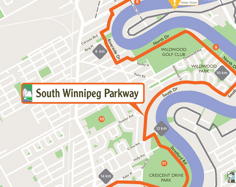
There are six parkway systems in Winnipeg that follow alongside the Red and Assiniboine Rivers. The South Winnipeg Parkway follows alongside the west side of the Red River. Wherever possible, the route is on a designated trail, but where there is no trail, follows nearby streets. This map is very large as it encompasses over 12 km of trail and will be more of a challenge to see detail when printed on a home printer.

